
Workshop 02: GIS
Scott Sorenson | On 13, Sep 2017
Digital Futures Workshop Series
Fall 2017
Pratt Institute
School of Undergraduate Architecture
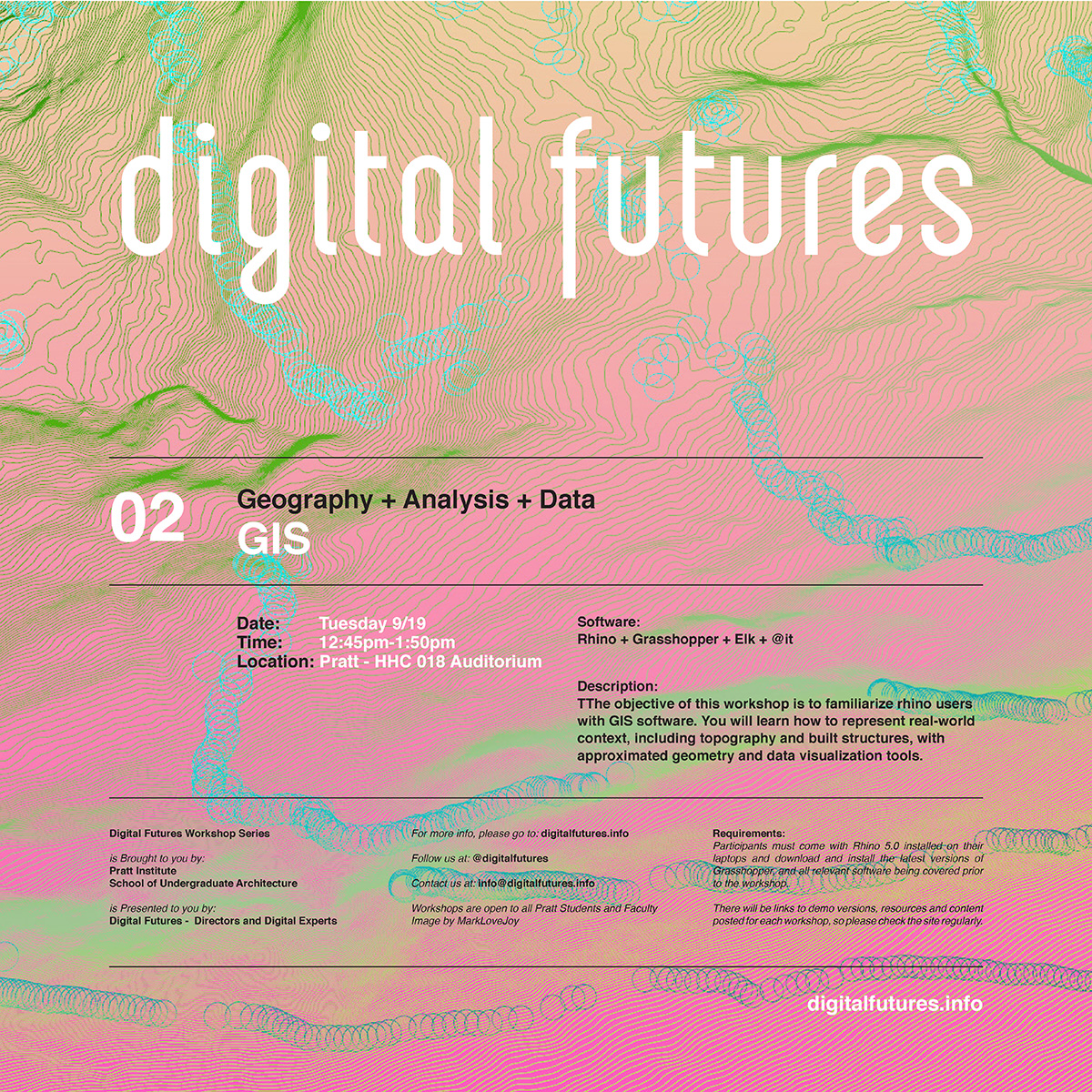
Workshop 02
GIS
Geography + Analysis + Data
Location: HHC 018 (Auditorium)
Date + Time: Tues, 2017.09.19, 12:45-1:50pm
Instructor: Scott Sorenson + Leland Jobson
Description: The objective of this workshop is to familiarize rhino users with GIS software. You will learn how to represent real-world context, including topography and built structures, with approximated geometry and data visualization tools.
GIS is a system that relates information to locations on earth. A GIS point can at a minimum consist of an identifier (Id) and a location on a coordinate system. For example, a street intersection can be given an Id (It’s name, or an arbitrary number/string) and a coordinate marking its position in space. As you can imagine, there is more to a street intersection than these two things, such as the names of the streets which are intersecting, when it was built, the speed limit at that moment, etc. ad infinitum.
There are a number of interfaces for parsing GIS data – in this workshop, we will focus on a grasshopper based workflow. By piping this data into our Rhino project through Grasshopper, we can make use of this data spatially and dynamically. For example, we can automate the representation and annotation of a drawing or model.
Requirements: Participants are required to bring a laptop with Rhino installed on their laptops and download and install the latest version of grasshopper and plug-ins below, before the workshop.
Software:
Grasshopper
Elk (free gh plug-in)
@it (free gh plug-in)
INSTALL GUIDE
Questions or Comments: Please contact us at – info@digitalfutures.info
Downloads: Please download workshop files before the start of the workshop.
2017.09.18.DP GIS FILES